Sponsored by the Parish Council & CWaC
Strolls on the Cheshire Sandstone Ridge – Stroll 4


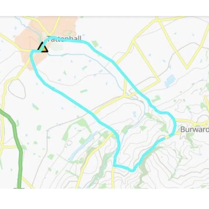

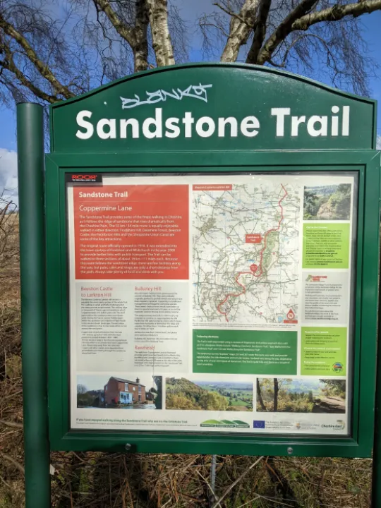
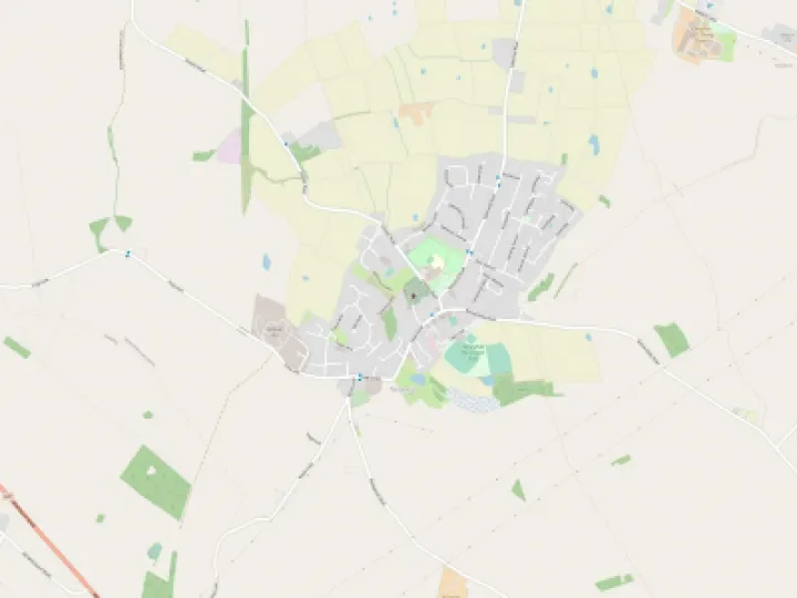
Stroll 4 – A Circular Stroll around Bulkeley Hill from Copper Mine Lane
- Visiting Cheshire's steepest railway
Access: Drive through Harthill and turn left on the A534. Continue over the hill and turn left onto Coppermine Lane before the Bickerton Poacher. Follow this narrow lane until it ceases to be metalled, at Position 1 and park at the side of the lane.
Underfoot Conditions: A good path over sandstone, so well drained, with a few muddy places depending on the weather.
Length: About 3/4 hour, plus any stops.
Click on the images to enlarge
Route:
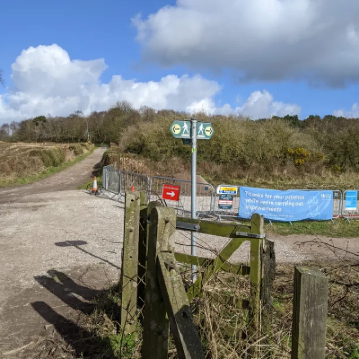
Please read the map detail. You are walking on land maintained by the National Trust and should respect their recommendations.
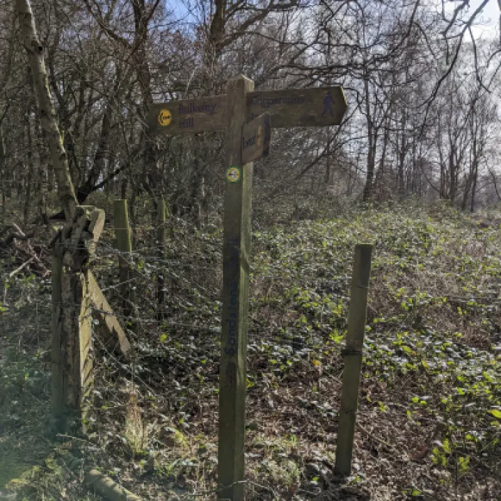
Facing the map at Position 1, turn right and follow the path across the field, following the Sandstone Trail sign at Position 2.
To the left of the path is a new track laid this year by United Utilities to bring materials required to clean the reservoir you will be passing shortly.
At Position 3, turn left and follow the Sandstone Trail signs up the hill to Position 4. The covered reservoir on the left at the summit is in effect a header tank for the pumping station in Bulkeley. After the water was pumped into the elevated reservoir, it ran in a 27-inch pipeline to The Potteries.
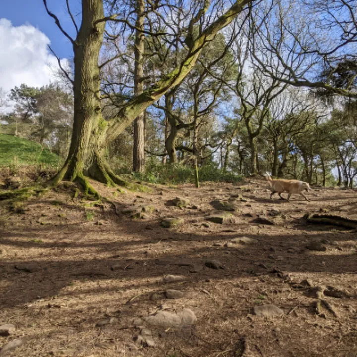
Continue through the gate onto National Trust land. There is a view point on the right with views to the south and east to Shropshire, Cannock Chase and the Potteries.
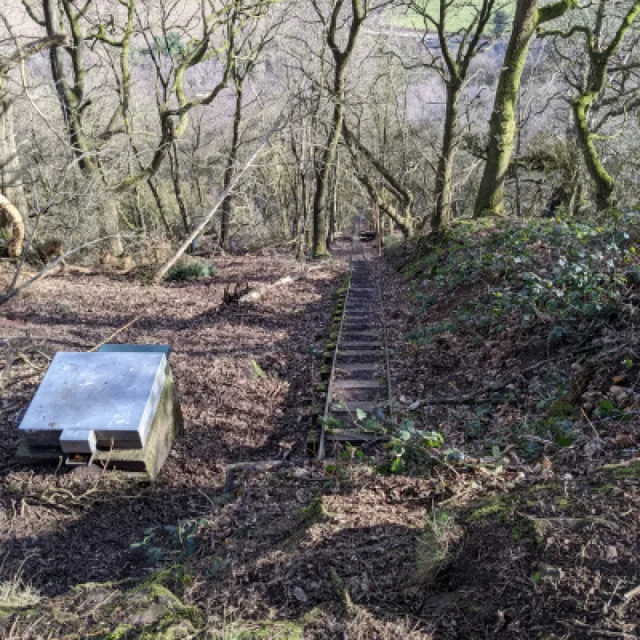
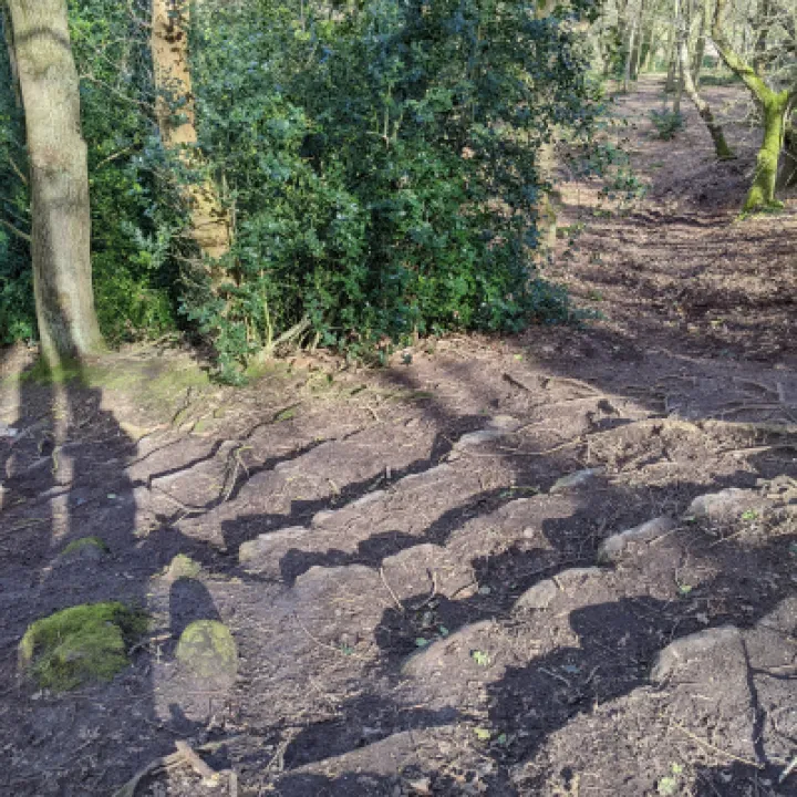
Follow the path until you reach Position 5. This area was a large clearing with mature chestnut trees but is now cluttered with the devastation caused by Storm Arwen. The rail incline shown in this photo was once used to bring materials up for both the construction and maintenance of the reservoir (some 210 m above sea level).The 'Bulkeley Hill Narrow Gauge Railway' comprised a 350 yards (320 m) long 2 feet (610 mm) gauge rope-hauled incline. With a grade of nearly 1:1 in one section, it is known as 'Cheshire's Steepest Railway'.
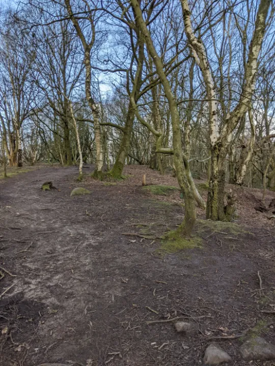
Continue along the Sandstone Trail, keeping to the main pathway through Position 6, after which it descendsthe north side of the hill to Position 7 where you turn left down the steps.
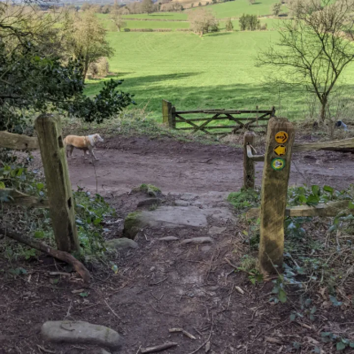
When you reach the track through the wall at Position 8, turn left and follow the track gently uphill initially past two smallholdings. The view to the right is acrossfarmland to the north. Keep on the track as it levels out and circles the hill giving views towards Rawhead and beyond. Eventually proceed down the slope to your starting point.
Get In Touch
Tattenhall Online is powered by our active community.
Please send us your news and views using the button below: