Sponsored by the Parish Council & CWaC
Strolls on the Cheshire Sandstone Ridge – Stroll 3


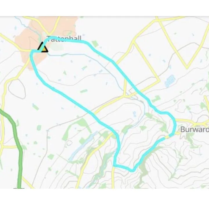

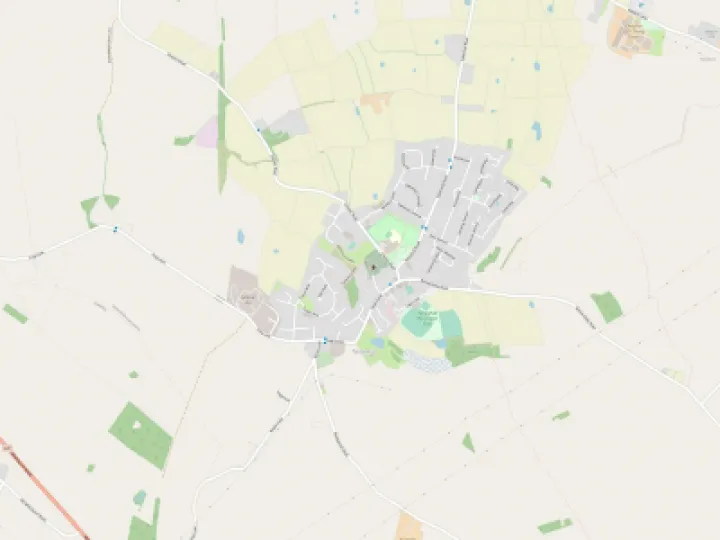
Stroll 3 – A Circular Stroll to Maiden Castle from the Bickerton Hill Car Park
Access: Drive to Bickerton Church, turn right along Goldford Lane. Turn right up the track beside the pond. The car park is at the top of this track which is drivable with care. If you don't want to get the car muddy, park after turning right, but don't block the track.
Underfoot Conditions: A good path over sandstone, so well drained, with a few muddy places depending on the weather.
Length: About 3/4 an hour, plus any stops.
Click on the images to enlarge,
Route:
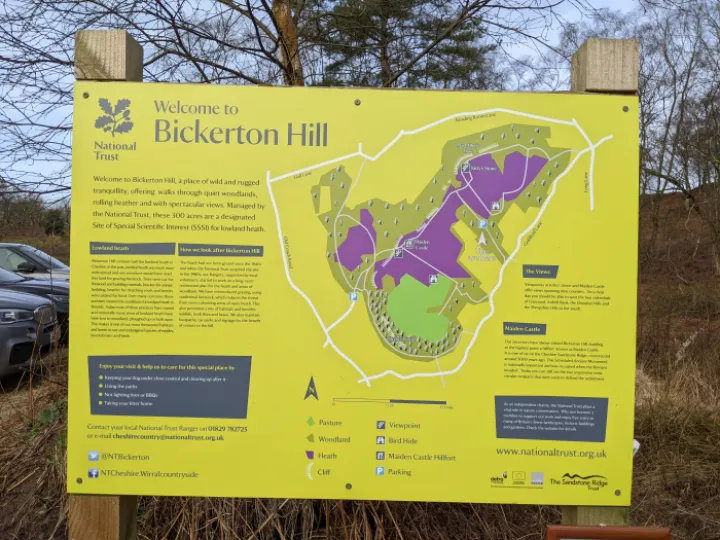
Please read the map detail. You are walking on land maintained by the National Trust and should respect their recommendations.
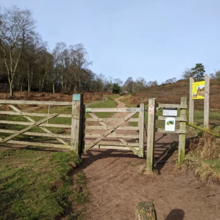
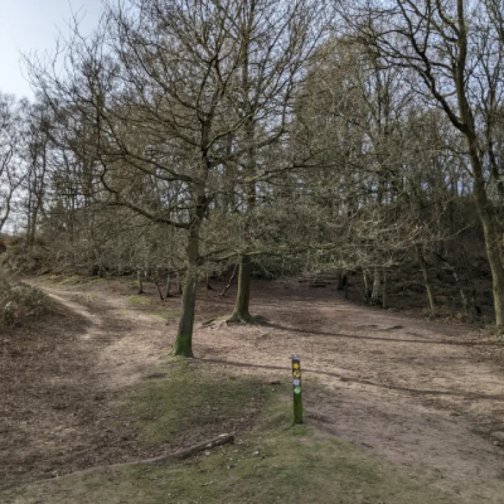
Exit the Car Park through the gate, and follow the track northward.
At the first junction, bear left.
At Position 1, again bear left up the widest path available. The steps now on your right are your return route. An optional route will be shown if you decide these are too treacherous.
Continue through the cutting, bearing right on the main track. The path to the right will be your return if you choose to avoid the steps.
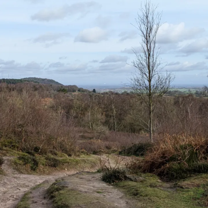
Proceed up the track. As you gain height, the views behind you, Position 2, are of the southern slopes of the Sandstone Ridge and across the Cheshire Plain to Jodrell Bank, the Potteries and the Peak District.
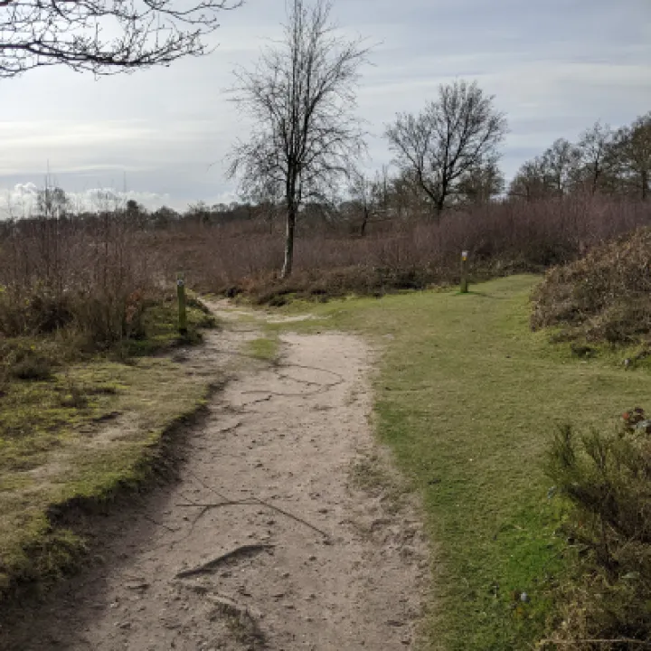
Fork left at Position 3 and continue through the lowland heath with views mainly to your left.
Follow the track through the ponds as you approach Position 4, and turn right at the T-junction.
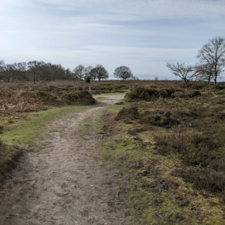
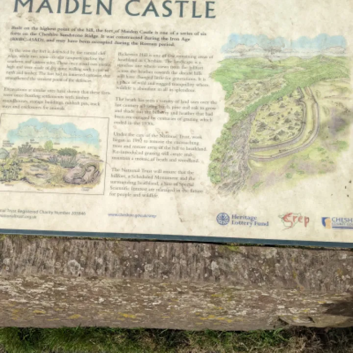
Continue up the gentle slope to the top. The ridge to the right of this track is the outer rampart of Maiden Castle, as explained on the information plaque on the right.
Full details of the history of the site can be viewed in the Cheshire Sandstone Ridge publications list and by CLICKING HERE . There are resting places here with a view from Shropshire to the left, through Powys to Clwyd.
Turn right up a few steps where the view is extended to the right over the Dee Estuary, the Wirral and Merseyside. You are now on the Sandstone Trail and continue following the easy track along the escarpment, initially passing through the concentric earthwork rings of the Castle. There are viewpoints to the left of this path with a few resting places.
Eventually, you will arrive at the top of the steps initially seen at Position 1and proceed down them. unless you had decided these were too steep to descend, in which case turn right, follow the path to link up with the track and turn left to reach the bottom of the steps. Fork right and then turn right to continue down the track to the car park.
Enjoy the stroll.
[We❤️Tattenhall
]
[
]
Get In Touch
Tattenhall Online is powered by our active community.
Please send us your news and views using the button below: