Sponsored by the Parish Council & CWaC


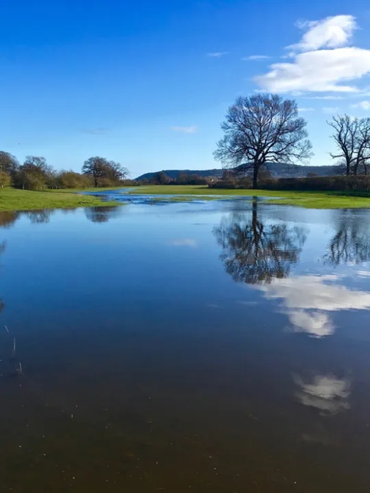
Recent visitors to the village might be forgiven in considering that this fantastic photograph, captured by Tim Green of Tattenhall Wildlife Group (TWiG), shows the quite spectacular 'Lake Tattenhall'.
In fact, not so.
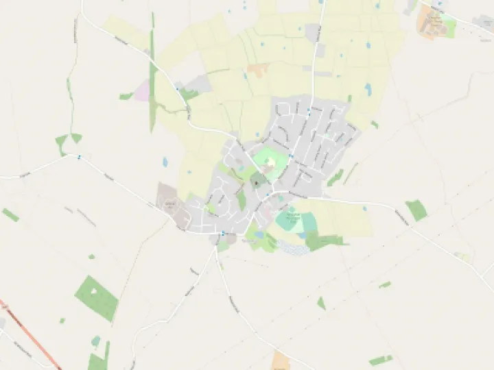
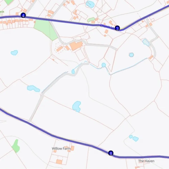
The photograph actually represents the original course of the Mill Brook and was taken during substantial flooding over the Christmas period.
This flooded area, on agricultural land, together with the the other flood defence measures undertaken by the Environment Agency, Bolesworth Estate and TWiG, takes pressure off the Mill Pond and significantly reduces the flood risk adjacent to the Barbour Institute.
Many of you will still recall the flooding of that area in 2000 and of the number of properties which were flooded out in the adjacent area.
Get In Touch
Tattenhall Online is powered by our active community.
Please send us your news and views using the button below: