Sponsored by the Parish Council & CWaC
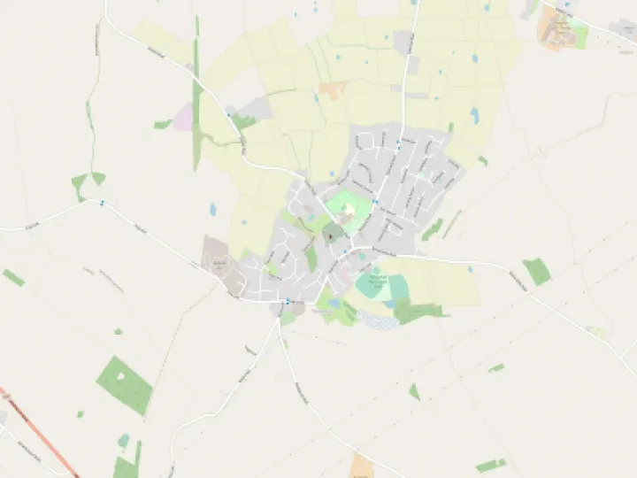
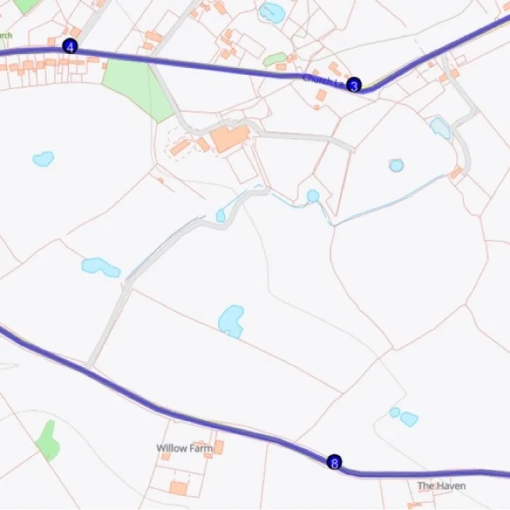
Around and about Tattenhall – Yellow Walk Maps


Through the past few months many of us have done more walking and have possibly discovered new footpaths in and in the neighbourhood of Tattenhall. Some are well trodden but on others you may have the path or track all to yourselves.
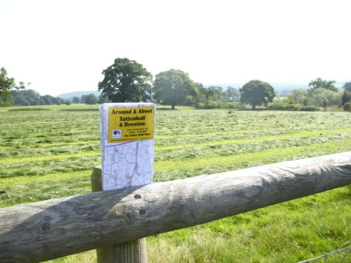
For those who like maps, Pluto House stocks a handy pocket-sized publication 'Around & About Tattenhall & Beeston'. This is part of the Ordnance Survey Explorer series and is on a scale of 1:16000. Whilst the paths don't always connect up, circular routes can be planned and, with care along short stretches of road, rewarding walks can be devised.
Please take note that you should at all times observe the 'Countryside Code'.
consider the local community and other people enjoying the outdoors
leave gates and property as you find them and follow paths unless wider access is available (please wear disposable gloves or use an anti-bacterial wipe when using kissing gates etc)
leave no trace of your visit and take litter home (dispose of gloves and wipes safely on returning home)
keep dogs under effective control
plan ahead and be prepared
follow advice and local signs
Finally, in these exceptional times be sensible and make sure the public health guidelines on 'social distancing' are your priority.
Get In Touch
Tattenhall Online is powered by our active community.
Please send us your news and views using the button below: