Sponsored by the Parish Council & CWaC
Strolls on the Cheshire Sandstone Ridge – Stroll 1


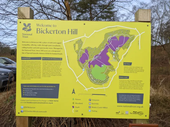
Stroll 1 – A Circular Stroll to Kitty's Stone from the Bickerton Hill Car Park
Access: Drive to Bickerton Church, turn right along Goldford Lane. Turn right up the track beside the pond. The National Trust car park is at the top of this track which is drivable with care. If you don't want to get the car muddy, park after turning right, but don't block the track.
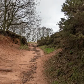
Underfoot Conditions: A good path over sandstone, so well drained, with a few muddy places depending on the weather.
Length: About 1/2 an hour, plus any stops.
Click on the images to enlarge
Route:
Please read the map detail. You are walking on land maintained by the National Trust and should respect their recommendations and follow the Countryside Code.
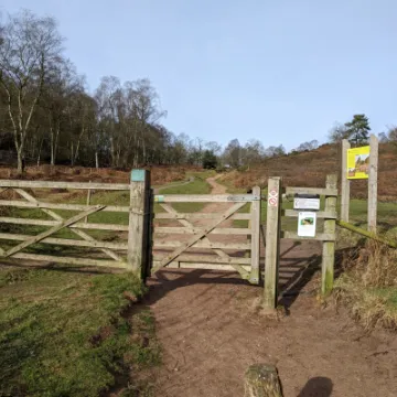
Exit the Car Park through the gate, and follow the track northward.
At the top of the slope. at Point 1turn right signposted to Frodsham. Don't panic, we're not going that far! You are now on the Sandstone Trail, which is part of the Cheshire Sandstone Ridge.
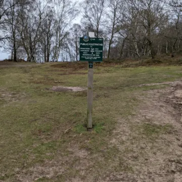
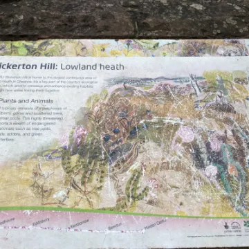
At the top of the slope shown in Point 2turn left for Kitty's Stone. Behind you at this turning is the Lowland Heathinterpretation panel, showing the importance of this habitat and the associated flora and fauna.
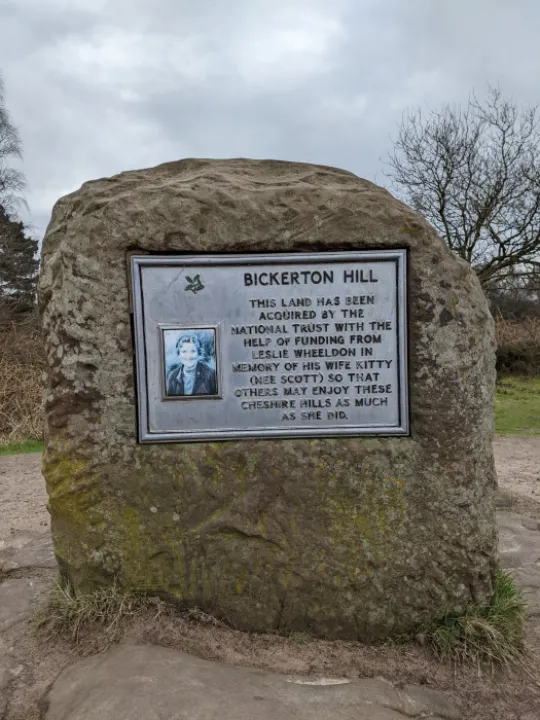
At Kitty's Stonethere is a superb panoramic view northward, from the Clwydian Hills in the west, over the Dee Estuary, including the Queensferry Bridge, the Mersey Estuary and Liverpool skyline, to the start of the Sandstone Ridge above Helsby. Kitty was the wife of Leslie Wheeldon who helped the National Trust acquire the northern end of Bickerton Hill in 1991. This memorial honours her and hopes that 'others enjoy these Cheshire Hills as much as she did'.
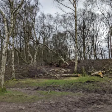
Continue on the Sandstone Trail along the escarpment to Point 3. There is another viewpoint here, with a tree trunk positioned as a seat. The devastation caused by Storm Arwen is shown here at the moment and emphasises the efforts required by the National Trust to maintain this habitat.
Turn right here, through the foliage.
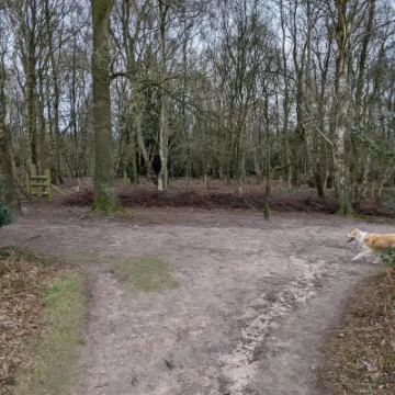
Follow this path through the wood, bearing left downhill with views eastward to the Potteries and Peak District. Continue through the lowland heath to Point 4.
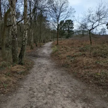
Turn right, following the track alongside the woodland on the left. and the heathland on the right. The track bears right as shown at Point 5 and then turns left through the edge of the wood to Point 6.
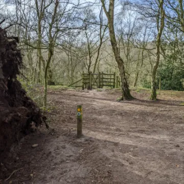
Go through the gate. down the steps and you are back in the car park.
Enjoy your walk!
WeLoveTattenhall
Get In Touch
Tattenhall Online is powered by our active community.
Please send us your news and views using the button below: