Sponsored by the Parish Council & CWaC
Exploring Your Local Footpaths


Socialising might be on hold with pubs, restaurants, gyms, National Trust and English Heritage staffed sites, theatres etc now closed, but UK wildlife is bursting into life.
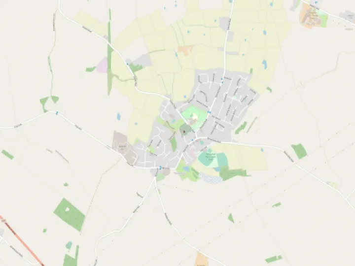
Whilst we have already published the two very detailed guided walks that are available locally i.e. the Mill Brook Wildlife Corridor Walk and the Tattenhall Heritage Trail Walk (CLICK HERE), don't forget that your Parish is criss-crossed by a number of 'public rights of way', commonly known as 'footpaths'.
Public rights of way are managed and maintained by CWaC and are shown on an interactive map published by the Local Authority (see link below). They are numbered (FP1, FP2 etc) and are clearly marked on Ordnance Survey maps or Apps. Whilst they do not always connect up, circular routes can be planned and, with care along short stretches of road, rewarding walks can be devised.
Please take note that you will be crossing farmland and that you should at all times observe the 'Countryside Code'.
- consider the local community and other people enjoying the outdoors
- leave gates and property as you find them and follow paths unless wider access is available (please wear disposable gloves or use an anti-bacterial wipe when using kissing gates etc)
- leave no trace of your visit and take litter home (dispose of gloves and wipes safely on returning home)
- keep dogs under effective control
- plan ahead and be prepared
- follow advice and local signs
Finally, in these exceptional times be sensible and make sure the public health guidelines on 'social distancing' are your priority.
CLICK HERE for CWaC interactive map and then follow the guidelines below:
- Zoom into Tattenhall (or any other locality in CWaC) – use the + sign to the right to zoom in
- Select 'Add Data' from the Toolbar
- Open the folder 'Leisure and Culture'
- Select 'Footpaths'
- Scroll down and 'Add this Selected Layer'
- All Local Footpaths are then shown in bright pink and labelled eg FP1, FP2 etc.
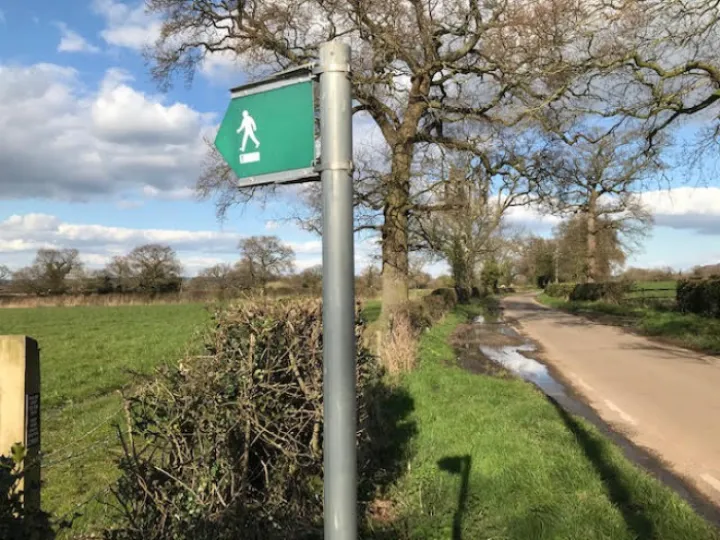
Our thanks to TWiG for writing this article and for providing the image along Dark Lane – CWaC have issued no directives to close any public footpaths currently.
Happy Walking!
Get In Touch
Tattenhall Online is powered by our active community.
Please send us your news and views using the button below: